Did you know that Keystone Environmental has in-house drones? Our drones are used to gain a wider perspective on a project and the environmental activities or measures in place.
They are remotely controlled or fly autonomously using software-controlled flight plans in its embedded systems, and work in conjunction with a GPS. This aerial photography is great when we need geographic mapping of inaccessible terrain, locations and/or remote sites.
Need more information? Speak with your Keystone Environmental Project Manager on how drones may support your project, or connect with us and start a conversation.
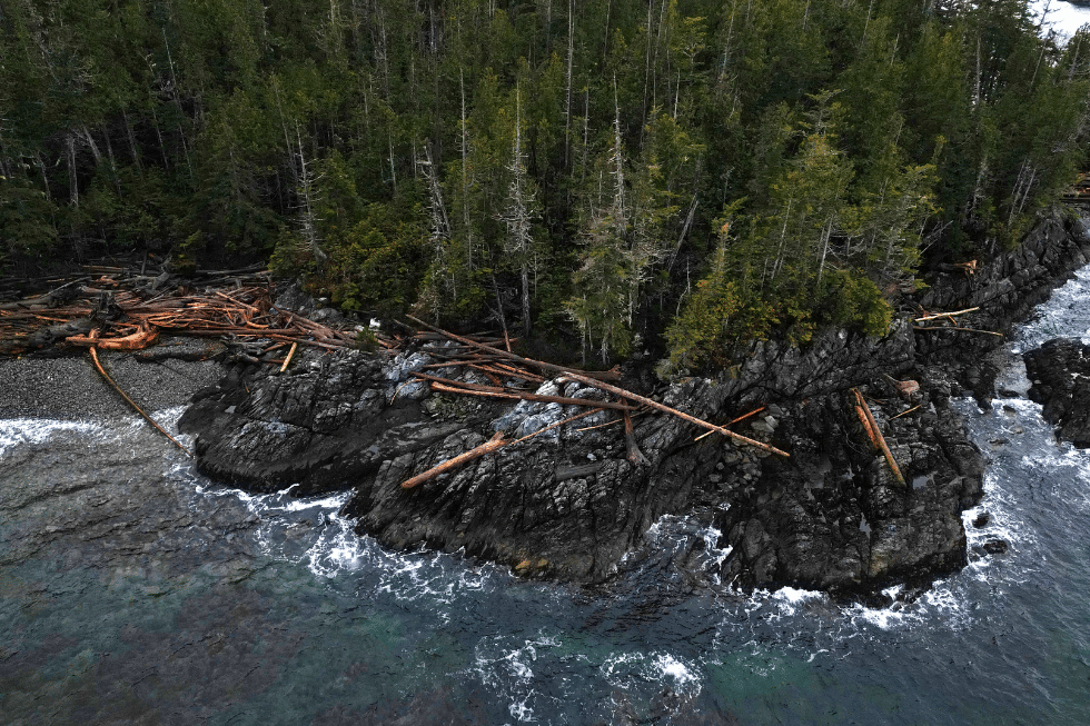
Click the image below to view the drone footage from a spill response site assessment near Bella Bella, BC.
Video credit: Sabrina McCarthy, Emergency Spill Response Coordinator
